Malpasset was a 66-metre arch dam built on the Reyran north of Fréjus, which burst on 2 December 1959 at 9.13 pm. The wave killed 423 people. Its ruins are freely accessible at the end of a track, and the valley strewn with blocks of concrete remains one of the most affecting places in the Var.
What happened
The dam was completed in 1954 to irrigate the plain of Fréjus. It was a thin, elegant arch, designed by André Coyne, one of the great civil engineers of his day. In the autumn of 1959, exceptional rain filled the reservoir faster than planned. On the evening of 2 December the left bank gave way: the rock the arch rested on, not the concrete, slid.
Fifty million cubic metres of water tore down the Reyran in a wave tens of metres high. It reached Fréjus twenty minutes later, carrying away districts, roads and the railway, and emptied into the sea. The toll was 423 dead. It remains the greatest civil disaster in post-war France, and it changed the way dam foundations are studied worldwide.
What you see
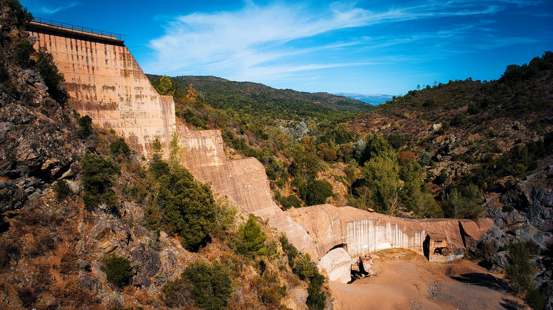
You have to walk a little, and that is as it should be. From the car park at the end of the road, a track climbs the Reyran valley for a good quarter of an hour. First you pass between blocks of reinforced concrete the size of houses, scattered across the riverbed and up the slopes where the wave carried them. Some lie flat, others are driven into the ground, all worn by sixty-five years of sun and rain.
Then the dam appears. What is left of it: the right bank, still standing, a section of arch rising into empty air, and the gaping breach of the left bank. The intact curve of the concrete, so thin, makes the whole thing more striking than a complete dam would be. You walk up to the foot, read the panels, and fall silent.
The site is freely accessible, with nothing but interpretive panels. It is a place of remembrance, not a park, and it asks for a certain restraint.
The valley today
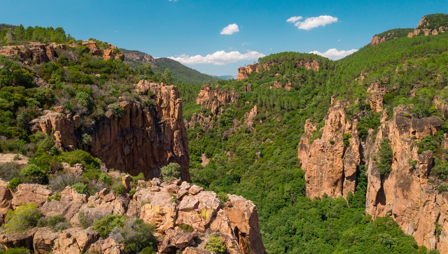
The Reyran is a seasonal stream again, dry in summer, edged with laurel and pine. Vegetation has taken the blocks. In winter and spring, when the water runs, the valley is almost beautiful, and the contrast with what you know makes the visit stronger still. Allow an hour and a half there and back, plus however long you spend at the foot of the arch.
Every 2 December a ceremony is held in Fréjus. A memorial and a permanent exhibition in the town complete the visit for anyone wanting to follow the events of that night.
Bringing guests
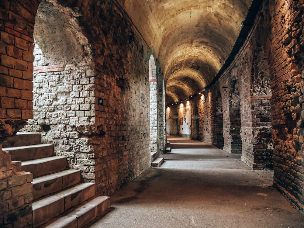
This is the place to show visitors who think they know the region. None of them comes away indifferent. It pairs well with the Roman amphitheatre, a quarter of an hour away: two thousand years of Fréjus in one day, one city built, the other swept away.
Practical information
Where
North of Fréjus, A8 exit 38 then the dam road to the final car park
Getting there
18 min from Puget-sur-Argens · 15 min from central Fréjus · 35 min from Draguignan
How long
1 hr 30 there and back on foot from the car park
Difficulty
Easy, wide track on a gentle gradient, some stony sections
Children
Yes, from about 6; explain the story beforehand
Pushchair
Possible with large wheels, difficult at the end
Price
Free, open access
Shade, water
Little shade on the track, no water point
Best season
Autumn, winter, spring · early morning in summer
Frequently asked questions
Yes, freely and at no cost. A quarter-hour track leads from the car park to the ruins, through the blocks of concrete carried by the wave.
This guide is part of the address book of a private estate in Puget-sur-Argens, 18 minutes away, available for weddings and family stays. It is not open to visitors.