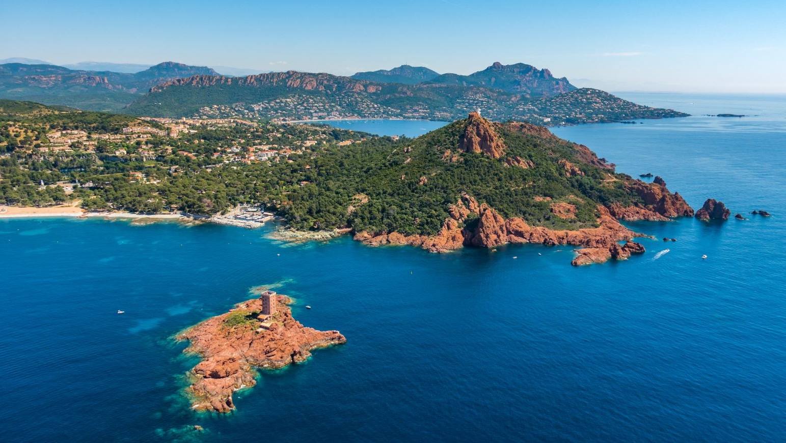
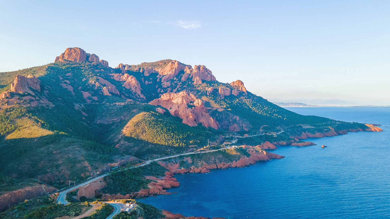
Cap du Dramont is a spur of red porphyry between Saint-Raphaël and Agay, which the coastal path rounds in an hour and a half. At the top, a signal station; offshore, the Île d'Or and its tower, which inspired Hergé; below, the beach where American troops landed on 15 August 1944.
Three things in one headland
Le Dramont is one of those places where geology, history and literature happen to meet, which is rare and is what makes it interesting.
Geology first: the headland is a mass of estérellite, a green volcanic rock flecked with white found only here, quarried until the mid-twentieth century and used to pave Marseille and Paris. Traces of the quarry are still visible on the eastern flank.
History next: on 15 August 1944 the 36th US Infantry Division landed on Le Dramont beach as part of Operation Dragoon. A memorial and a bunker mark the day, without fuss.
Literature last: the Île d'Or, that red rock three hundred metres offshore topped by a Saracen-style tower built in 1912 by an eccentric who declared himself king of the island, gave Hergé the setting for *The Black Island*. It is private and cannot be visited, but it is the focal point of the whole walk.
The path
The circuit of the headland follows the marked coastal path from the car park at Le Dramont beach. You climb first through the pines to the signal station, still in service, for a view running from Saint-Tropez to Cannes. The path then drops and follows the shore closely, between red rocks, with sections over slabs and short flights of steps.
Allow an hour and a half for the full loop, two if you stop. The route is easy but never flat, and closed shoes are better than flip-flops. There is almost no shade on the shoreline section: this is a morning or late-afternoon walk.
Swimming
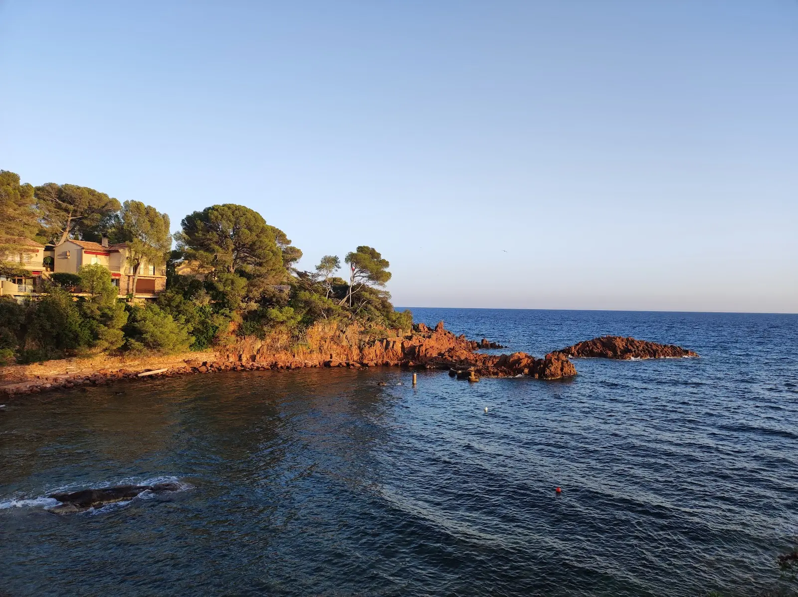
The path passes above several small inlets of shingle and rock slab where you can drop down for a swim. The water is clear and deep quickly, over red rock, and a mask is well rewarded. Nothing is laid out and nothing is supervised.
Le Dramont beach, at the start, is a proper beach: coarse sand, a lifeguard post in summer, a restaurant. It is where the loop ends, and swimming there you feel the strangeness of the place, between a war memorial and a row of parasols.
Anthéor and beyond
The coastal path continues eastwards towards Agay and Anthéor. Cap du Dramont is only one link in this coast, and it combines well with driving the Corniche d'Or to make a full day.
Practical information
Where
Le Dramont beach, between Saint-Raphaël and Agay on the D559. Free car park at the beach
Getting there
31 min from Puget-sur-Argens · 20 min from Fréjus · 55 min from Draguignan
How long
1 hr 30 for the headland loop, 2 hrs with stops
Difficulty
Easy, never flat, some sections over rock
Children
From about 6, in closed shoes
Dogs
Allowed on the path, not on the supervised beach in season
Shade
Among the pines on the climb, very little on the shore
Swimming
Le Dramont beach supervised in summer · inlets along the path free and unsupervised
Île d'Or
Private, not open to visitors
Best season
April to June and September-October · early morning in summer
Frequently asked questions
An hour and a half for the loop on the coastal path, two hours if you stop at the signal station and for a swim.
This guide is part of the address book of a private estate in Puget-sur-Argens, 31 minutes away, available for weddings and family stays. It is not open to visitors.