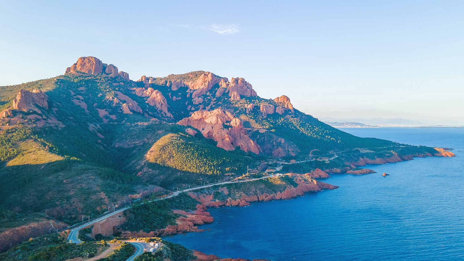
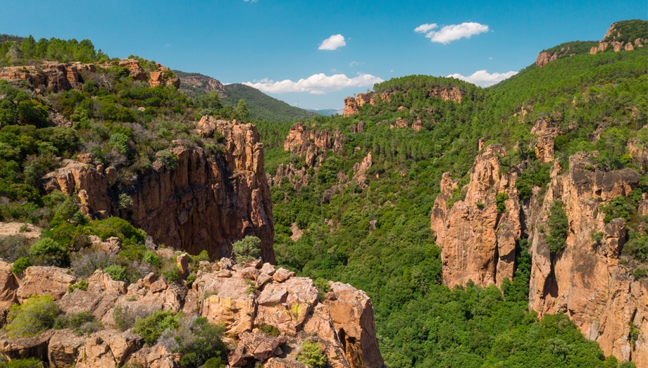
The Corniche d'Or is the coast road running along the Estérel massif between Saint-Raphaël and Théoule-sur-Mer, some thirty kilometres of red rock plunging into blue water. Opened in the early twentieth century by the Touring Club de France, it strings together viewpoints and coves. Allow two hours with stops, and let the drive be the visit.
A road built for pleasure
Few roads were built to be beautiful. The Corniche d'Or is one of them. The Touring Club de France had it opened in 1903, at the moment motoring tourism was being invented, to link Saint-Raphaël to Cannes along the shore rather than inland. A hundred and twenty years later it has barely changed: two narrow lanes hugging every headland and every inlet, with the Estérel on your left and the Mediterranean on your right.
The red of the rock is porphyry, the volcanic rhyolite 250 million years old that gives the massif its singularity. Against the blue of the water and the green of the pines, it composes a landscape you will not find anywhere else on the French coast.
Which direction
West to east, from Saint-Raphaël towards Théoule, the sea is on your side and the stops need no crossing. In the morning the sun is behind you and lights the rock. That is the direction to choose.
You can return inland through the Estérel, by the Belle-Barbe pass road, or by motorway from Mandelieu, which spares you driving the same road back into the sun and the late-afternoon traffic.
Where to stop
The corniche is a succession of possible stops, and the trick is not to make them all.
Boulouris and Le Dramont beach first, with the Île d'Or offshore, the rock crowned by a tower that inspired Hergé's The Black Island. Le Dramont is also the beach of the Provence landings of 15 August 1944.
Agay and its bay, almost enclosed, the most sheltered on the corniche, with sand and restaurants. This is the lunch stop.
Anthéor, where the railway viaduct spans the inlet, and where steps lead down to small shingle beaches.
Le Trayas, the wildest stretch, where the road climbs, the coves have to be earned by flights of steps, and the view of Cap Roux, the highest point on the coast, is at its most spectacular.
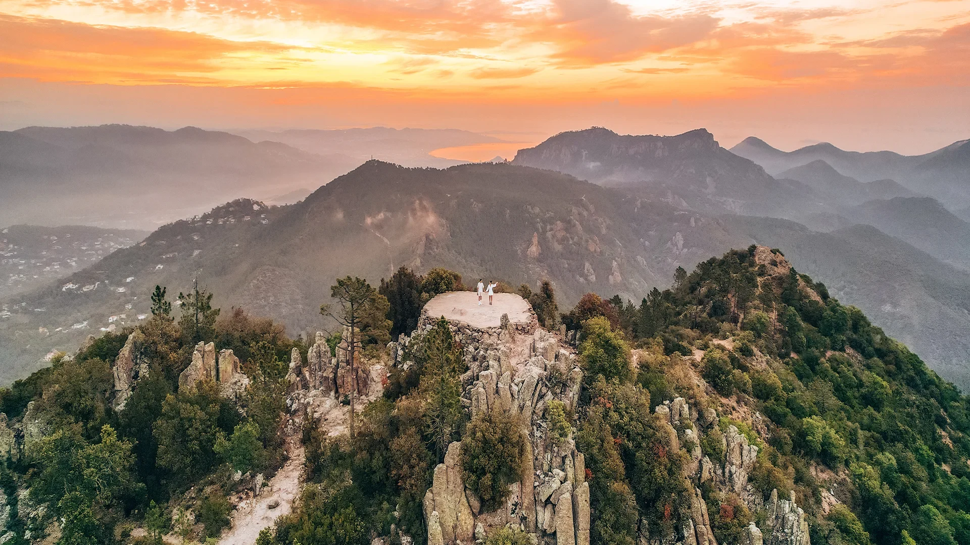
Pointe de l'Observatoire, finally, a viewpoint before Théoule, taking in the whole corniche you have just driven and, beyond it, the bay of Cannes and the Lérins islands.
Getting into the water
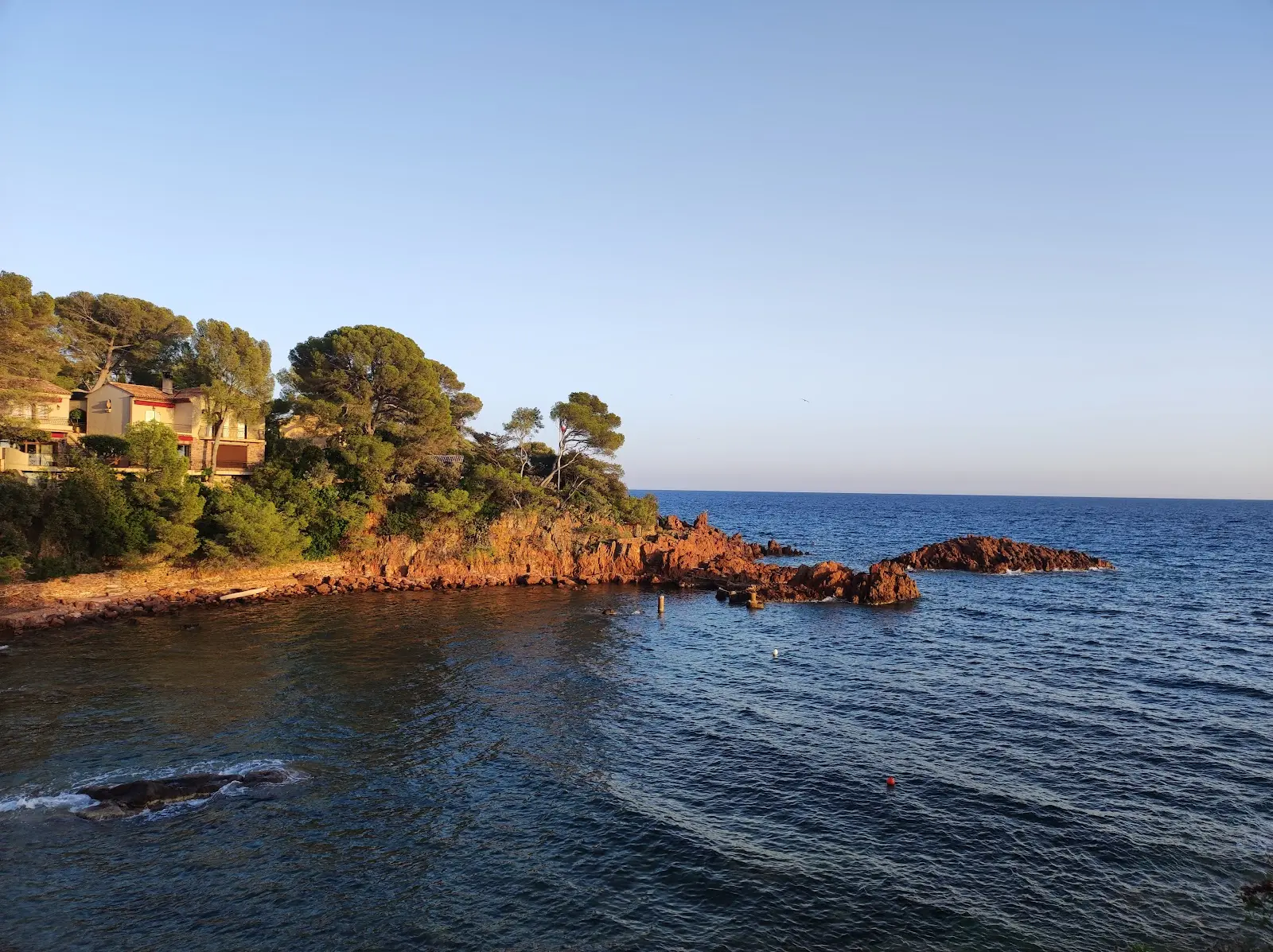
Almost every inlet has its steps. The coves of Le Trayas are the finest and the least busy, with deep clear water over red rock. You need reef shoes, a mask, and the acceptance that there is nothing there: no shower, no lifeguard, no sand. The beaches at Agay and Le Dramont, by contrast, are supervised in summer.
When
The corniche is beautiful all year. In winter, in a mistral, the light has a rare clarity and the road is empty. In summer it is congested from ten to six, especially at weekends: leave at eight or late in the day, when the setting sun quite literally sets the rock alight.
Practical information
Where
D559 then D6098, Saint-Raphaël to Théoule-sur-Mer via Agay, Anthéor and Le Trayas
Getting there
20 min to the start of the corniche from Puget-sur-Argens · 15 min from Fréjus
Length
About thirty kilometres
How long
45 min without stopping · 2 hrs with stops · a full day with a swim and lunch
Recommended direction
West to east in the morning, sea on your right
Swimming
Supervised beaches at Agay and Le Dramont in summer · free, unsupervised coves elsewhere
Parking
Small car parks and verges at each inlet, saturated in summer
Best season
All year · early morning or sunset in summer
Frequently asked questions
It links Saint-Raphaël to Théoule-sur-Mer, passing Boulouris, Agay, Anthéor and Le Trayas, over some thirty kilometres along the Estérel massif.
This guide is part of the address book of a private estate in Puget-sur-Argens, 20 minutes away, available for weddings and family stays. It is not open to visitors.