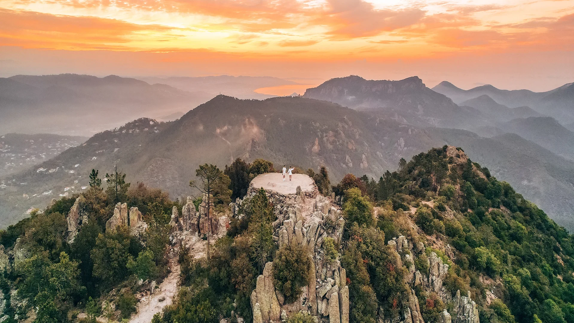
Mont Vinaigre is the highest point of the Estérel massif, at 614 metres, between Fréjus and Mandelieu. You drive up the massif's forest road and then walk twenty minutes to an old fire-watch tower. The view takes in the coast from Saint-Tropez to Cannes, the Maures, the plain and, on a clear day, the Alps.
The roof of the Estérel
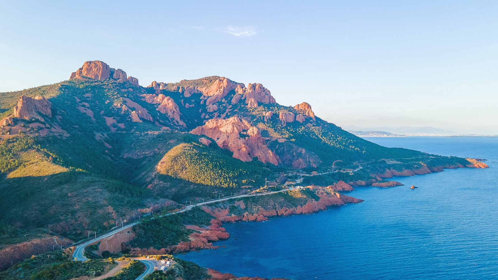
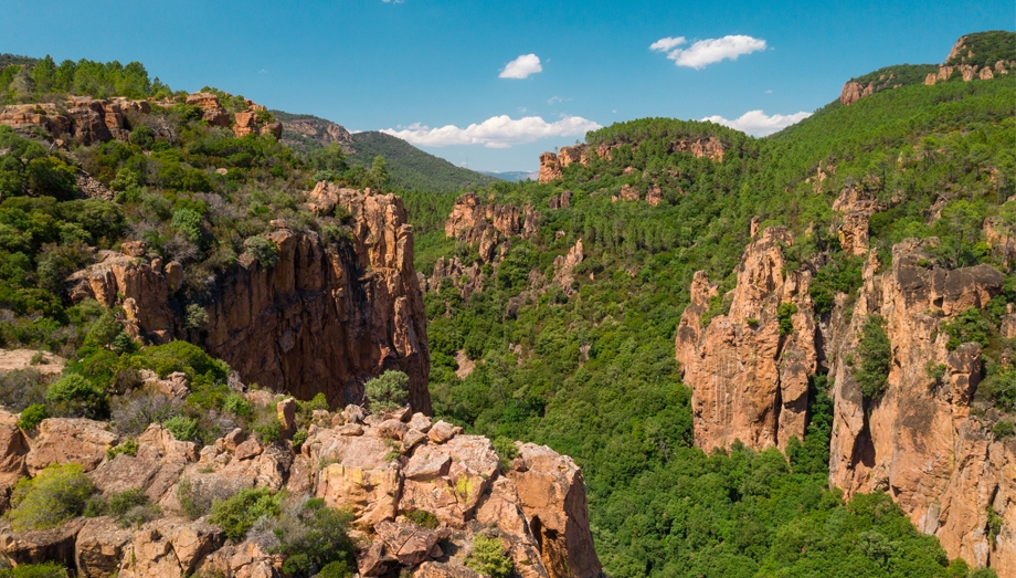
The Estérel is not high, but it is abrupt, and Mont Vinaigre is the key to it. From the summit you can read the whole massif: the red ridges tumbling towards the sea, the Pic de l'Ours and Cap Roux to the east, the forest rising to the north, and beyond it everything that surrounds it. This is the only place from which you see both the gulf of Fréjus and the bay of Cannes.
The summit carries a watchtower, a stone lookout from which foresters watched for the start of fires. The Estérel has burned many times, and the vegetation you walk through, blackened cork oaks and regrowing maquis, remembers it. The mountain's name has nothing to do with vinegar: it is thought to come from a Provençal word for a windy place.
Getting up
Mont Vinaigre is reached from inside the massif. You leave the N7 between Fréjus and Les Adrets for the forest road that climbs through the state forest to a car park below the summit. From there a path climbs for twenty minutes to the tower, over red rock and pine needles, with no difficulty.
For those who want to walk, several longer loops start from the forest houses in the massif and reach the summit along the ridges, in two to four hours. The tracks are wide and well marked; maps are available at the Malpey forest house and the Fréjus tourist office.
The Estérel in summer
The Estérel massif is among the most closely watched in the Var for fire risk. In summer, forest roads may be closed on days of very high risk, and it is worth checking before setting off. For the rest of the year, access is unrestricted.
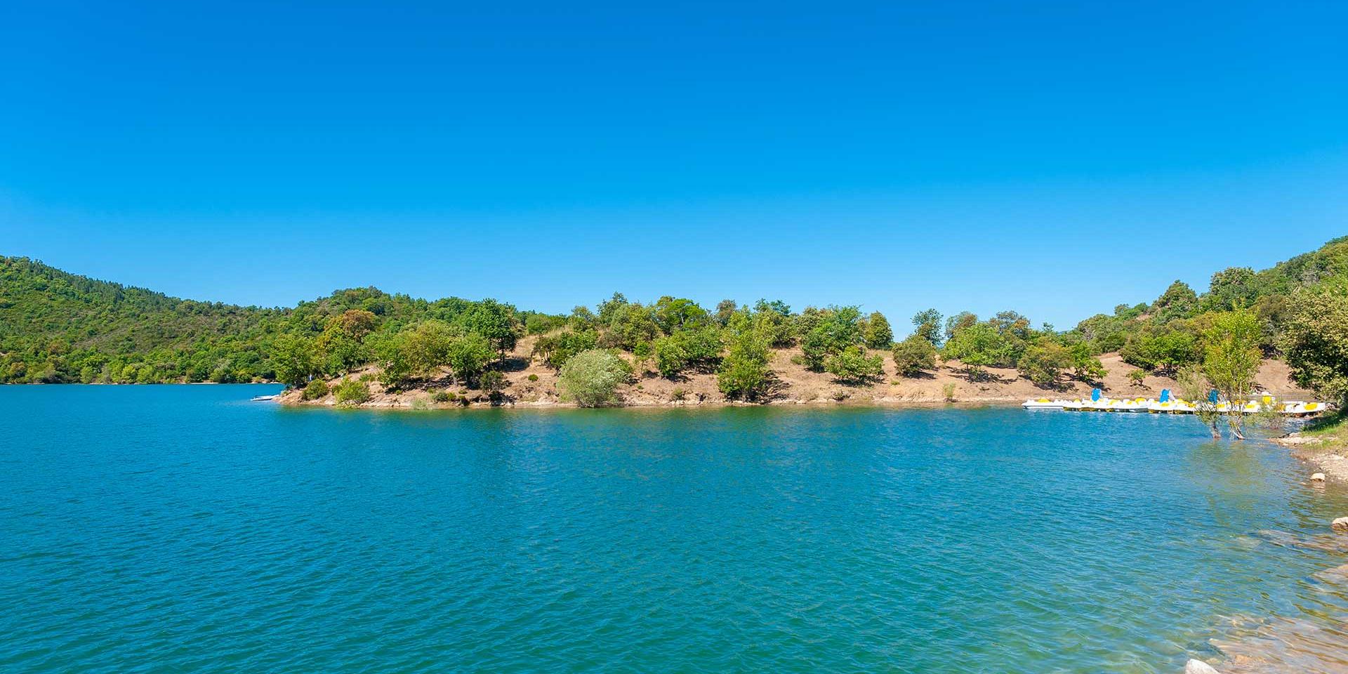
In any season the hour matters: the summit is exposed and shadeless, and the wind often blows. Climb in the morning, come down for lunch, and keep the afternoon for the Corniche d'Or at the foot of the massif, or for Lac de Saint-Cassien on the other side of the motorway.
What you see
On a clear winter or spring day the view from the tower is among the most complete in the region: to the south the sea and the Lérins islands, to the west the gulf of Fréjus, the Argens plain and the Maures, to the north inland Provence rising towards the Verdon, and to the east, behind Cannes, the snow line of the Alps. In a mistral it carries as far as Corsica. In summer, heat haze limits it to the coast.
Practical information
Where
Estérel massif, forest road off the N7 between Fréjus and Les Adrets, car park below the summit
Getting there
30 min from Puget-sur-Argens · 25 min from Fréjus · 50 min from Draguignan
Altitude
614 m
How long
20 min on foot from the car park · 2 to 4 hrs for the loops from the forest houses
Difficulty
Easy from the car park · moderate for the loops
Children
Yes from the car park, from about 5
Shade, water
None at the summit; bring water and a hat
Summer
Forest roads may close on days of very high fire risk; worth checking
Best season
October to May for visibility · in a mistral for the sharpest view
Frequently asked questions
614 metres. It is the highest point of the Estérel massif.
This guide is part of the address book of a private estate in Puget-sur-Argens, 30 minutes away, available for weddings and family stays. It is not open to visitors.